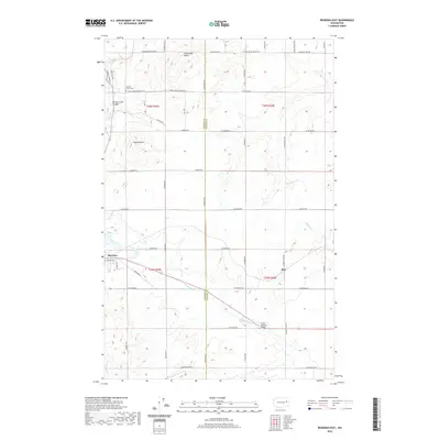
2020 Map of Reardan East
USGS Topo · Published 2020About this map
The town of Reardan anchors this portion of the Inland Empire, situated along the border of Lincoln and Spokane Counties. The landscape is defined by the unique geological transitions of the Channeled Scablands, where prominent features like Shoemaker Butte and Grays Butte rise above the surrounding plateau. A complex network of drainage is visible, featuring the steep Spring Creek Canyon and the winding paths of N Fork Deep Cr and S Fork Deep Cr, which carve through the volcanic basalt terrain.
Find a feature on this map
39 named features on this map. Tap any name to fly to it.
Don’t see what you’re looking for? This feature index may not catch every label — zoom into the map to look around manually.
Map Details
Editions of this 2020 Reardan East Map
This is the sole edition of this map. No revisions or reprints were ever made.
Other maps of this area

1943 · Medical Lake
USGS Topo · 1:62,500

1944 · Clayton
USGS Topo · 1:62,500

1944 · Wellpinit
USGS Topo · 1:62,500

1945 · Reardan
USGS Topo · 1:62,500

1950 · Clayton
USGS Topo · 1:62,500

1953 · Reardan
USGS Topo · 1:62,500

1953 · Wellpinit
USGS Topo · 1:62,500

1954 · Medical Lake
USGS Topo · 1:24,000

1954 · Medical Lake
USGS Topo · 1:62,500

1954 · Deep Creek
USGS Topo · 1:24,000