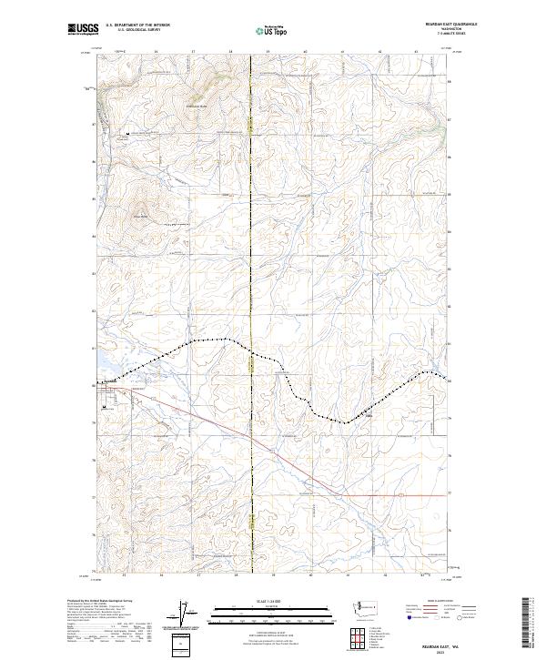
2023 Map of Reardan East
USGS Topo · Published 2023About this map
The town of Reardan sits at the southwestern edge of this landscape, marking the transition from the high wheat-growing plateaus of Lincoln County into the drainage systems of Spokane County. This area is defined by the Lincoln Co Spokane Co boundary and a series of prominent volcanic landforms, including Shoemaker Butte and Grays Butte. These elevations overlook the winding Spring Creek Canyon and the headwaters of Coulee Creek, creating a varied topography that dictated early settlement patterns and road placements. Genealogists and local researchers can identify early community hubs through landmarks like Spring Creek Cem and Reardan Cem, alongside the Spring Creek Grange RD E, which reflects the region's agricultural heritage. The map also traces the distinct paths of the North Fork Deep Creek and South Fork Deep Creek, highlighting the critical water sources that supported the small settlement of Hite and surrounding farmsteads.
Find a feature on this map
39 named features on this map. Tap any name to fly to it.
Don’t see what you’re looking for? This feature index may not catch every label — zoom into the map to look around manually.
Map Details
Editions of this 2023 Reardan East Map
This is the sole edition of this map. No revisions or reprints were ever made.
Other maps of this area

1943 · Medical Lake
USGS Topo · 1:62,500

1944 · Clayton
USGS Topo · 1:62,500

1944 · Wellpinit
USGS Topo · 1:62,500

1945 · Reardan
USGS Topo · 1:62,500

1950 · Clayton
USGS Topo · 1:62,500

1953 · Reardan
USGS Topo · 1:62,500

1953 · Wellpinit
USGS Topo · 1:62,500

1954 · Medical Lake
USGS Topo · 1:24,000

1954 · Medical Lake
USGS Topo · 1:62,500

1954 · Deep Creek
USGS Topo · 1:24,000