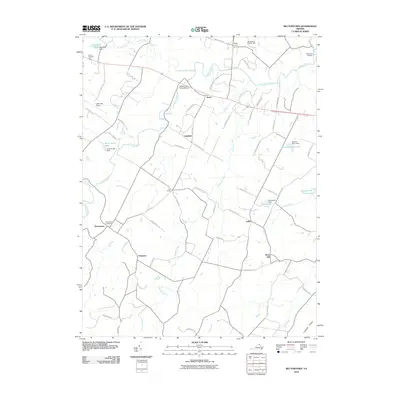
2010 Map of Rectortown
USGS Topo · Published 2010About this map
Rectortown and the village of Atoka anchor this Piedmont landscape, which is defined by an intricate network of country lanes and significant watercourses like Goose Creek. The area’s historical character is evidenced by the Goose Creek Stone Bridge and the presence of the Ivy Hill Cemetery north of the Upperville Airport. The map highlights a region deeply involved in equestrian and agricultural pursuits, noted by the Middleburg Training Track and various farm lakes such as Ardarra Farm Lake and Hickory Tree Farm Lake.
Find a feature on this map
71 named features on this map. Tap any name to fly to it.
Don’t see what you’re looking for? This feature index may not catch every label — zoom into the map to look around manually.
Map Details
Editions of this 2010 Rectortown Map
This is the sole edition of this map. No revisions or reprints were ever made.
Other maps of this area

1884 · Harpers Ferry
USGS Topo · 1:125,000

1891 · Harpers Ferry
USGS Topo · 1:125,000

1893 · Harpers Ferry
USGS Topo · 1:125,000

1894 · Warrenton
USGS Topo · 1:125,000

1916 · Berryville
USGS Topo · 1:62,500

1933 · Middleburg
USGS Topo · 1:62,500

1939 · Berryville
USGS Topo · 1:48,000

1943 · Bluemont
USGS Topo · 1:24,000

1943 · Thorofare Gap
USGS Topo · 1:24,000

1943 · Orlean
USGS Topo · 1:24,000