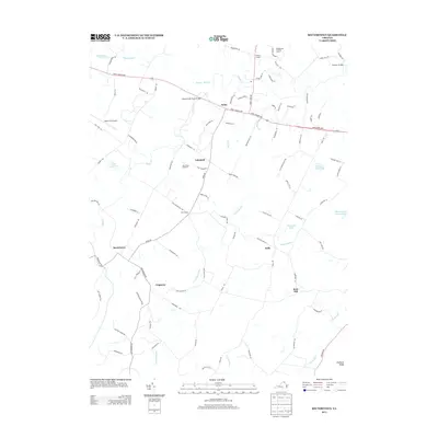
2013 Map of Rectortown
USGS Topo · Published 2013About this map
Goose Creek Stone Bridge stands as a significant landmark in this northern Virginia landscape, marking the historic crossing point where the John S Mosby Hwy traverses the winding Goose Cr. The area is characterized by a series of small, dispersed settlements including Rectortown, Atoka, and Frogtown, many of which grew around early road junctions such as Five Points. The drainage patterns of Cromwells Run and Panther Skin Cr define the rolling terrain, while numerous private farm ponds and larger bodies like Sherwood Lake and Brick House Lake dot the countryside. The presence of the Middleburg Training Track and equestrian-themed names like Oak Grove Meadows reflect the region's long-standing connection to Virginia's horse country, while the Upperville Airport serves as a modern node in this rural network.
Find a feature on this map
92 named features on this map. Tap any name to fly to it.
Don’t see what you’re looking for? This feature index may not catch every label — zoom into the map to look around manually.
Map Details
Editions of this 2013 Rectortown Map
This is the sole edition of this map. No revisions or reprints were ever made.
Other maps of this area

1884 · Harpers Ferry
USGS Topo · 1:125,000

1891 · Harpers Ferry
USGS Topo · 1:125,000

1893 · Harpers Ferry
USGS Topo · 1:125,000

1894 · Warrenton
USGS Topo · 1:125,000

1916 · Berryville
USGS Topo · 1:62,500

1933 · Middleburg
USGS Topo · 1:62,500

1939 · Berryville
USGS Topo · 1:48,000

1943 · Bluemont
USGS Topo · 1:24,000

1943 · Thorofare Gap
USGS Topo · 1:24,000

1943 · Orlean
USGS Topo · 1:24,000