
1936 Map of Red Bay
USGS Topo · Published 1936About this map
Red Bay and the surrounding borderlands of Alabama and Mississippi are captured here during a period of infrastructure expansion led by the Tennessee Valley Authority. The map highlights the strategic positioning of settlements along the Illinois Central railroad, including Golden and Belmont. This topography reveals the high ground of the Divide, separating the drainage into the Tennessee River Basin from southern-flowing waters. Local life is documented through scattered rural landmarks like Patterson Chapel and several family burial grounds, including Epps Cem, Burgess Cem, and Gates Cem. The landscape is a network of early motor routes such as State Hy No 25 and the Association Highway, illustrating the transition from traditional rail reliance to a modernizing road system in the mid-1930s.
Find a feature on this map
30 named features on this map. Tap any name to fly to it.
Don’t see what you’re looking for? This feature index may not catch every label — zoom into the map to look around manually.
Map Details
Editions of this 1936 Red Bay Map
This is the sole edition of this map. No revisions or reprints were ever made.
Other maps of this area

1935 · Pleasant Site
USGS Topo · 1:24,000

1936 · Belmont
USGS Topo · 1:24,000

1936 · Vina
USGS Topo · 1:24,000

1936 · Halltown
USGS Topo · 1:24,000

1950 · Belmont
USGS Topo · 1:24,000

1950 · Vina
USGS Topo · 1:24,000
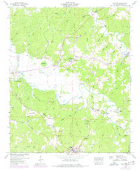
1950 · Halltown
USGS Topo · 1:24,000
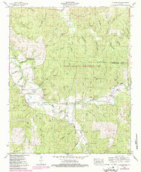
1950 · Pleasant Site
USGS Topo · 1:24,000
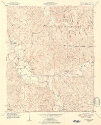
1951 · Pleasant Site
USGS Topo · 1:24,000

1951 · Vina
USGS Topo · 1:24,000