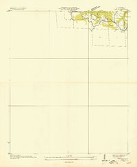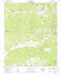
1950 Map of Vina
USGS Topo · Published 1977About this map
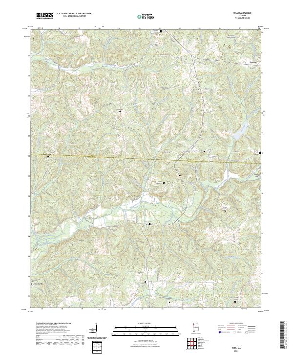
Vina sits along the northern edge of this landscape, situated near the Mississippi State Line and the prominent Tennessee Valley Divide. The Illinois Central railroad cuts through the northeastern corner, serving the small community of Atwood before heading south. This mid-century survey illustrates a rural upland defined by its relationship to the headwaters of numerous creeks, including Bear Branch and Bull Mountain Creek. Numerous family-named cemeteries and rural churches, such as Newburg Cem, Brazel Cem, and Liberty Ch, are scattered across the terrain, suggesting a deeply rooted network of small farmsteads. The southern reaches of the map show the transition from Franklin into Marion County, where Moore Hill and Buzzard Bluff dominate the local topography near the settlement of Shottsville.
Find a feature on this map
90 named features on this map. Tap any name to fly to it.
Don’t see what you’re looking for? This feature index may not catch every label — zoom into the map to look around manually.
Map Details
Editions of this 1950 Vina Map
This is the sole edition of this map. No revisions or reprints were ever made.
Historical Maps of Vina Through Time
8 maps found