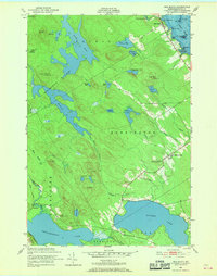
1949 Map of Red Beach
USGS Topo · Published 1969About this map
The St Croix River shoreline defines the eastern edge of this coastal landscape, where the settlement of Red Beach sits at the foot of Trimble Mtn. Inland, the terrain is dominated by an intricate network of freshwater bodies including Boyden Lake, Nashs Lake, and the Magurrewock Lakes, separated by wooded ridges like Hawks Mtn and Carlyle Mtn. This late 1940s environment showcases a quiet agricultural and conservation era, with the Moosehorn National Wildlife Refuge protecting large tracts of the interior wetlands.
Find a feature on this map
55 named features on this map. Tap any name to fly to it.
Don’t see what you’re looking for? This feature index may not catch every label — zoom into the map to look around manually.
Map Details
Editions of this 1949 Red Beach Map
3 editions found

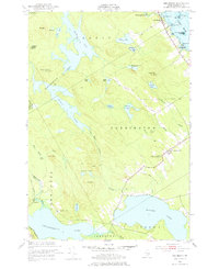
Other maps of this area

1907 · Eastport
USGS Topo · 1:48,000

1908 · Eastport
USGS Topo · 1:62,500

1929 · Calais
USGS Topo · 1:48,000

1929 · Robbinston
USGS Topo · 1:48,000

1931 · Robbinston
USGS Topo · 1:62,500

1932 · Calais
USGS Topo · 1:62,500

1941 · Gardner Lake
USGS Topo · 1:62,500

1943 · Gardner Lake
USGS Topo · 1:62,500

1943 · Eastport
USGS Topo · 1:62,500

1945 · Eastport
USGS Topo · 1:62,500