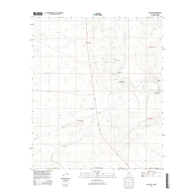
2013 Map of Red Bluff
USGS Topo · Published 2013About this map
Pecos River and Delaware River define the arid landscape of south-central Eddy County, New Mexico, near the Texas border. This 2013 survey illustrates a region dominated by ranching and resource extraction, with the settlement of Red Bluff situated at a bend in the Pecos. Notable water management features like East Apple Tank and Coad Tank point to the critical role of livestock watering holes in this desert environment.
Find a feature on this map
26 named features on this map. Tap any name to fly to it.
Don’t see what you’re looking for? This feature index may not catch every label — zoom into the map to look around manually.
Map Details
Editions of this 2013 Red Bluff Map
This is the sole edition of this map. No revisions or reprints were ever made.
Other maps of this area

1925 · Orla 2-b
USGS Topo · 1:48,000

1931 · Orla
USGS Topo · 1:62,500

1945 · Malaga
USGS Topo · 1:62,500

1946 · Malaga
USGS Topo · 1:62,500

1954 · Carlsbad
USGS Topo · 1:250,000

1954 · Hobbs
USGS Topo · 1:250,000

1954 · Van Horn
USGS Topo · 1:250,000

1954 · Pecos
USGS Topo · 1:250,000

1957 · Pecos
USGS Topo · 1:250,000

1958 · Van Horn
USGS Topo · 1:250,000