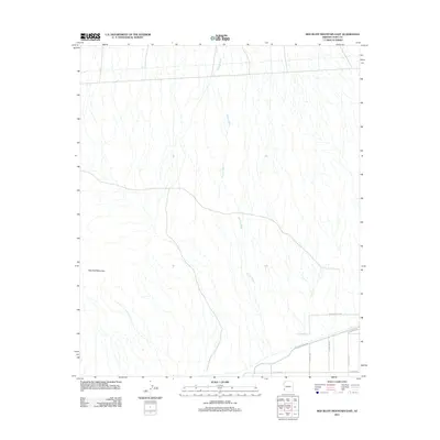
2011 Map of Red Bluff Mountain East
USGS Topo · Published 2011About this map
Red Bluff Mountain anchors the southwestern terrain of this Yuma County landscape, which is defined by the intricate dendritic drainage of the Big Eye Wash system. This arid region shows a stark transition from the natural desert floor to the agricultural and infrastructure-heavy corridor in the southeast. A network of rural roads, including Wellton-Kofa Rd and Mohawk-Canal-Rd, provides access to the lowlands where the desert meets managed water resources. The sparse human footprint is concentrated along the southern edge, with residential and local access routes like E Paisano Dr and E Co Hwy-5th branching into the landscape. The geography documented here captures the intersection of desert drainage patterns and the modern road networks that support the rural communities of southern Arizona.
Find a feature on this map
9 named features on this map. Tap any name to fly to it.
Don’t see what you’re looking for? This feature index may not catch every label — zoom into the map to look around manually.
Map Details
Editions of this 2011 Red Bluff Mountain East Map
This is the sole edition of this map. No revisions or reprints were ever made.
Other maps of this area

1926 · Wellton
USGS Topo · 1:62,500

1926 · Mohawk
USGS Topo · 1:62,500

1928 · Mohawk
USGS Topo · 1:62,500

1928 · Norton
USGS Topo · 1:62,500

1929 · Wellton
USGS Topo · 1:62,500

1929 · Norton
USGS Topo · 1:62,500

1942 · Yuma
USGS Topo · 1:250,000

1953 · Ajo
USGS Topo · 1:250,000

1954 · El Centro
USGS Topo · 1:250,000

1955 · El Centro
USGS Topo · 1:250,000