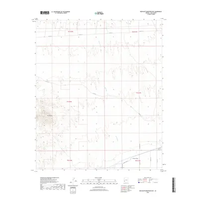
2018 Map of Red Bluff Mountain East
USGS Topo · Published 2018About this map
Red Bluff Mtn anchors the western portion of this arid landscape, overlooking the wide basin of the Mohawk Valley to the southeast. The terrain is characterized by the complex drainage patterns of Big Eye Wash, which threads through the center of the survey area. Human presence is concentrated in the lower elevations of the southeast, where a grid of rural roads like Paisano Dr and S Ave 36 1/2 E meet at the edge of more developed land. The orientation of Mohawk Canal Rd suggests the historical importance of water management in this Yuma County desert, while the northern sections remain largely defined by open land and section lines under the Public Land Survey System, including t6s r18w and t7s r17w.
Find a feature on this map
20 named features on this map. Tap any name to fly to it.
Don’t see what you’re looking for? This feature index may not catch every label — zoom into the map to look around manually.
Map Details
Editions of this 2018 Red Bluff Mountain East Map
This is the sole edition of this map. No revisions or reprints were ever made.
Other maps of this area

1926 · Wellton
USGS Topo · 1:62,500

1926 · Mohawk
USGS Topo · 1:62,500

1928 · Mohawk
USGS Topo · 1:62,500

1928 · Norton
USGS Topo · 1:62,500

1929 · Wellton
USGS Topo · 1:62,500

1929 · Norton
USGS Topo · 1:62,500

1942 · Yuma
USGS Topo · 1:250,000

1953 · Ajo
USGS Topo · 1:250,000

1954 · El Centro
USGS Topo · 1:250,000

1955 · El Centro
USGS Topo · 1:250,000