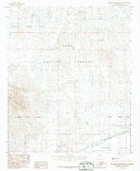
1986 Map of Red Bluff Mountain East
USGS Topo · Published 1986About this map
Yuma Proving Ground dominates this mid-1980s landscape, illustrating the intersection of military operations and the arid Arizona desert. The map tracks the Military Reservation Boundary as it cuts across the southern reach of the Castle Dome Plain and the northern slopes of Red Bluff Mountain. This region is characterized by extensive drainage patterns like Big Eye Wash, which flows southward toward the Mohawk Valley.
Find a feature on this map
18 named features on this map. Tap any name to fly to it.
Don’t see what you’re looking for? This feature index may not catch every label — zoom into the map to look around manually.
Map Details
Editions of this 1986 Red Bluff Mountain East Map
This is the sole edition of this map. No revisions or reprints were ever made.
Other maps of this area

1926 · Wellton
USGS Topo · 1:62,500

1926 · Mohawk
USGS Topo · 1:62,500

1928 · Mohawk
USGS Topo · 1:62,500

1928 · Norton
USGS Topo · 1:62,500

1929 · Wellton
USGS Topo · 1:62,500

1929 · Norton
USGS Topo · 1:62,500

1942 · Yuma
USGS Topo · 1:250,000

1953 · Ajo
USGS Topo · 1:250,000

1954 · El Centro
USGS Topo · 1:250,000

1955 · El Centro
USGS Topo · 1:250,000