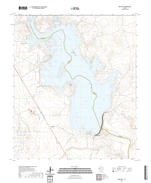
2022 Map of Red Bluff
USGS Topo · Published 2022About this map
The Pecos River carves through the arid landscape of West Texas, dominated by the waters of the Red Bluff Reservoir. This map illustrates the intersection of Reeves Co and Loving Co, where the reservoir serves as a primary geographic anchor amidst a series of dry washes including Tucker Draw, Hackberry Draw, and Skinner Draw. The settlement of Angeles sits in the southwest, connected by a network of county roads like Co RD 450 that navigate the varied topography of the bluffs.
Find a feature on this map
24 named features on this map. Tap any name to fly to it.
Don’t see what you’re looking for? This feature index may not catch every label — zoom into the map to look around manually.
Map Details
Editions of this 2022 Red Bluff Map
This is the sole edition of this map. No revisions or reprints were ever made.
Other maps of this area

1925 · Orla 2-b
USGS Topo · 1:48,000

1931 · Orla
USGS Topo · 1:62,500

1945 · Malaga
USGS Topo · 1:62,500

1946 · Malaga
USGS Topo · 1:62,500

1954 · Carlsbad
USGS Topo · 1:250,000

1954 · Hobbs
USGS Topo · 1:250,000

1954 · Van Horn
USGS Topo · 1:250,000

1954 · Pecos
USGS Topo · 1:250,000

1957 · Pecos
USGS Topo · 1:250,000

1958 · Van Horn
USGS Topo · 1:250,000