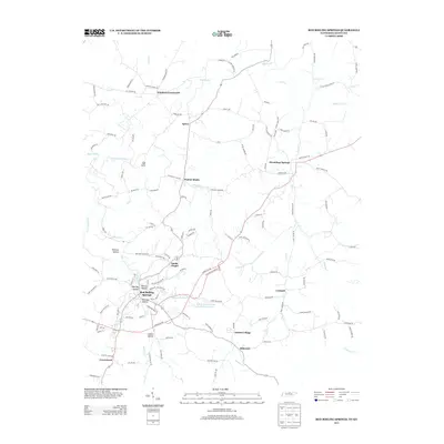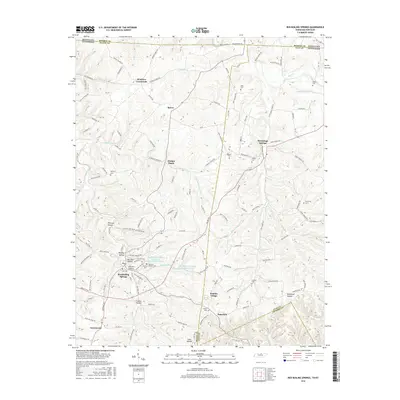
2022 Map of Red Boiling Springs
USGS Topo · Published 2022About this map
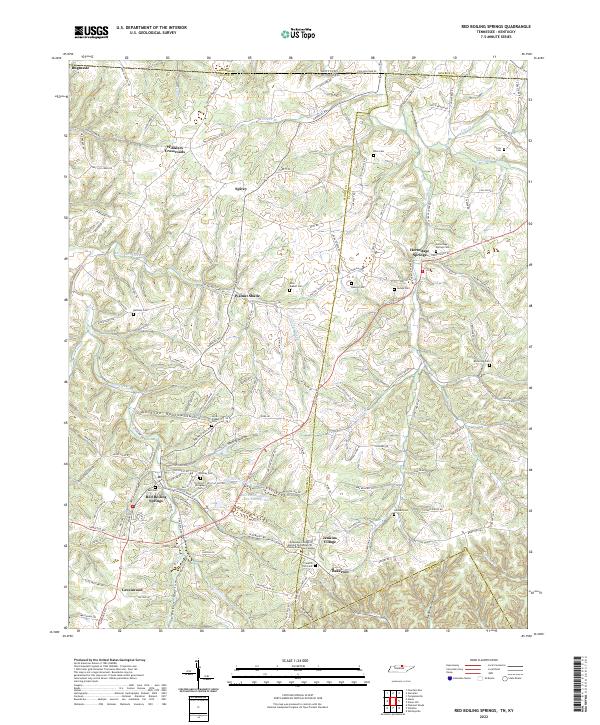
Red Boiling Springs serves as the focal point of this modern survey of the Tennessee-Kentucky borderlands, where the dissected terrain of Macon and Clay Counties meets the southern edge of Monroe County. The landscape is defined by its deep drainage networks, including Salt Lick Creek and Line Creek, which carve out numerous named hollows such as Whitley Hollow and Whitson Hollow. This area is characterized by small, dispersed rural settlements like Winklers Crossroads, Bugtussle, and Hermitage Springs, many of which grew around early crossroads and local springs. Cultural landmarks are densely concentrated near the town centers, featuring local institutions like the Tennessee College of Applied Technology Tri-County Extension Campus and multiple historical burial grounds including the Cothron-Gregory Cem and Franklin York Cem. The map illustrates a rural economy historically tied to the land, now transitioned into a modern road network connecting established communities like Bakerton and Spivey.
Find a feature on this map
152 named features on this map. Tap any name to fly to it.
Don’t see what you’re looking for? This feature index may not catch every label — zoom into the map to look around manually.
Map Details
Editions of this 2022 Red Boiling Springs Map
This is the sole edition of this map. No revisions or reprints were ever made.
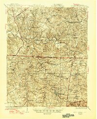
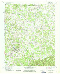
Historical Maps of Red Boiling Springs Through Time
7 maps found