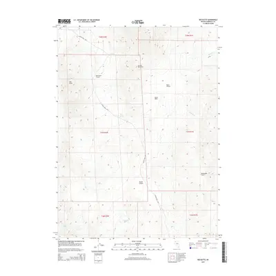
2015 Map of Red Butte
USGS Topo · Published 2015About this map
The Jackson Mountains dominate this high-desert landscape in Humboldt County, where the eponymous Red Butte stands as a primary landmark. Settlement patterns in this arid region are tied closely to water sources and livestock operations, evidenced by the Jackson Creek Rnch roads that wind through the terrain. A network of vital water points, including Bonita Spring, Rock Spring, and Fish Pond Spring, suggests the historical importance of these sites for ranching and transit.
Find a feature on this map
20 named features on this map. Tap any name to fly to it.
Don’t see what you’re looking for? This feature index may not catch every label — zoom into the map to look around manually.
Map Details
Editions of this 2015 Red Butte Map
This is the sole edition of this map. No revisions or reprints were ever made.
Other maps of this area

1886 · Disaster
USGS Topo · 1:250,000

1893 · Disaster
USGS Topo · 1:250,000

1931 · Lovelock
USGS Topo · 1:250,000

1935 · Lovelock
USGS Topo · 1:250,000

1954 · Vya
USGS Topo · 1:250,000

1955 · Lovelock
USGS Topo · 1:250,000

1958 · Vya
USGS Topo · 1:250,000

1959 · Lovelock
USGS Topo · 1:250,000

1962 · Vya
USGS Topo · 1:250,000

1966 · Donna Schee Peak
USGS Topo · 1:62,500