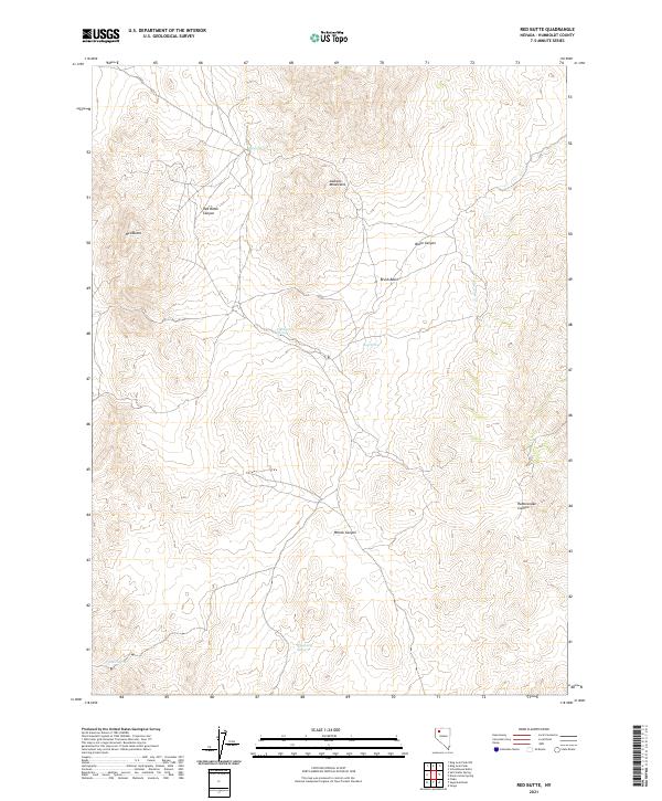
2021 Map of Red Butte
USGS Topo · Published 2021About this map
Red Butte stands as a prominent landmark in the high desert of Humboldt County, marking the western edge of the Jackson Mountains. This arid landscape is defined by its dramatic relief, where steep drainage systems like Red Butte Canyon, Black Canyon, and Rattlesnake Canyon carve through the mountain range. Despite the dry environment, the map reveals a series of critical water sources that would have been vital for early livestock ranching and travel, including Bonita Spring, Fish Pond Spring, and Woodcamp Spring.
Find a feature on this map
19 named features on this map. Tap any name to fly to it.
Don’t see what you’re looking for? This feature index may not catch every label — zoom into the map to look around manually.
Map Details
Editions of this 2021 Red Butte Map
This is the sole edition of this map. No revisions or reprints were ever made.
Other maps of this area

1886 · Disaster
USGS Topo · 1:250,000

1893 · Disaster
USGS Topo · 1:250,000

1931 · Lovelock
USGS Topo · 1:250,000

1935 · Lovelock
USGS Topo · 1:250,000

1954 · Vya
USGS Topo · 1:250,000

1955 · Lovelock
USGS Topo · 1:250,000

1958 · Vya
USGS Topo · 1:250,000

1959 · Lovelock
USGS Topo · 1:250,000

1962 · Vya
USGS Topo · 1:250,000

1966 · Donna Schee Peak
USGS Topo · 1:62,500