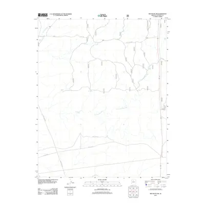
2012 Map of Red Butte SW
USGS Topo · Published 2012About this map
Rain Tank Wash and Little Red Horse Wash define the drainage patterns of this high-plateau landscape in northern Arizona. The area is characterized by an extensive system of catchment basins, reflecting the critical importance of water management in this arid environment. Named features such as Anita Tank, Java Tank, and R Seven Tank are scattered across the terrain, connected by a network of ranch and forest roads. Transportation routes include Anita Rd and Willaha Co Rd, alongside historical thoroughfares like Old "347" Rd Anita. This 2012 survey by the U.S. Geological Survey provides a detailed look at the land use within Coconino County, where many livestock tanks carry family or ranch designations such as the X B Tank and Red-Horse Tank.
Find a feature on this map
20 named features on this map. Tap any name to fly to it.
Don’t see what you’re looking for? This feature index may not catch every label — zoom into the map to look around manually.
Map Details
Editions of this 2012 Red Butte SW Map
This is the sole edition of this map. No revisions or reprints were ever made.
Other maps of this area

1886 · Chino
USGS Topo · 1:250,000

1891 · Chino
USGS Topo · 1:250,000

1948 · Williams
USGS Topo · 1:250,000

1954 · Williams
USGS Topo · 1:250,000
1956 · Red Butte SE
USGS Topo · 1:24,000

1956 · Williams
USGS Topo · 1:250,000

1960 · Williams
USGS Topo · 1:250,000

1961 · Williams
USGS Topo · 1:250,000

1962 · Valle
USGS Topo · 1:62,500
1979 · Red Butte
USGS Topo · 1:24,000