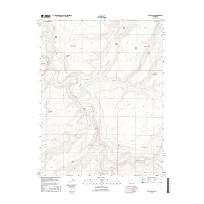
2016 Map of Red Canyon
USGS Topo · Published 2016About this map
The Dolores River carves a deep path through the canyonlands of western Colorado, forming the namesake Red Canyon at the heart of this landscape. The river is joined in the southeast by the San Miguel River, a confluence that has historically served as a vital corridor through the high desert terrain. The area is defined by a series of prominent mesas, including Blue Mesa, Atkinson Mesa, and Lone Tree Mesa, which rise sharply above the river valleys.
Find a feature on this map
41 named features on this map. Tap any name to fly to it.
Don’t see what you’re looking for? This feature index may not catch every label — zoom into the map to look around manually.
Map Details
Editions of this 2016 Red Canyon Map
This is the sole edition of this map. No revisions or reprints were ever made.
Other maps of this area

1916 · Paradox Valley
USGS Topo · 1:125,000

1922 · Paradox Valley
USGS Topo · 1:125,000

1948 · Roc Creek
USGS Topo · 1:24,000

1948 · Uravan
USGS Topo · 1:24,000

1948 · Paradox
USGS Topo · 1:24,000

1949 · Davis Mesa
USGS Topo · 1:24,000

1949 · Uravan
USGS Topo · 1:24,000

1949 · Paradox
USGS Topo · 1:24,000

1949 · Roc Creek
USGS Topo · 1:24,000

1949 · Juanita Arch
USGS Topo · 1:24,000