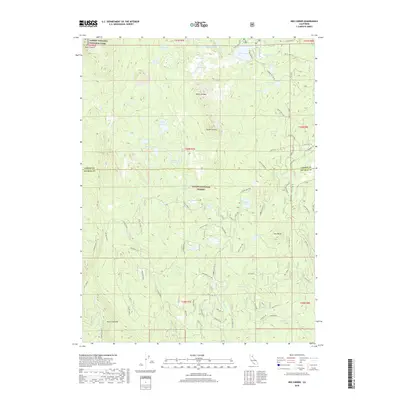
2018 Map of Red Cinder
USGS Topo · Published 2018About this map
Lassen Volcanic National Park and the Lassen National Forest converge in this high-altitude landscape of the Southern Cascades. The terrain is defined by a dense cluster of alpine basins and volcanic features, including North Caribou and South Caribou. A complex network of Forest Service routes, such as Manzanita Spur West and Echo Lake Spur, provides access to numerous remote water bodies. Hydrological patterns are dominated by Silver Lake in the north and the expansive Mud Creek Rim to the south. The area serves as a critical watershed, with headwaters for Robbers Cr, Bailey Cr, and Dillon Cr carving through the volcanic soil. Locations like Cooper Swamp and The Hole indicate the varying drainage across this protected wilderness near the Lassen and Plumas county line.
Find a feature on this map
63 named features on this map. Tap any name to fly to it.
Don’t see what you’re looking for? This feature index may not catch every label — zoom into the map to look around manually.
Map Details
Editions of this 2018 Red Cinder Map
This is the sole edition of this map. No revisions or reprints were ever made.
Other maps of this area

1886 · Lassen Peak
USGS Topo · 1:250,000

1892 · Lassen Peak
USGS Topo · 1:250,000

1894 · Lassen Peak
USGS Topo · 1:250,000

1939 · Halls Flat
USGS Topo · 1:125,000

1955 · Westwood
USGS Topo · 1:250,000

1956 · Mt. Harkness
USGS Topo · 1:62,500

1956 · Chester
USGS Topo · 1:62,500

1956 · Harvey Mtn
USGS Topo · 1:62,500

1957 · Prospect Peak
USGS Topo · 1:62,500

1958 · Westwood
USGS Topo · 1:250,000