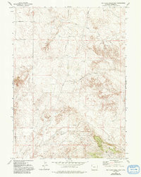
1977 Map of Red Cloud Creek West
USGS Topo · Published 1993About this map
The Fort Laramie Road traces a historical path through this high-plains landscape, cutting through the western portion of the quadrangle. This 1977 survey reveals a remote section of Goshen County characterized by seasonal drainage systems and prominent landforms such as Pine Ridge. The geography is defined by the headwaters of Red Cloud Creek and Dry Rawhide Creek, which carve out the high-elevation terrain. Settlement is nearly absent here, with the human imprint limited to utility infrastructure like a long-distance Pipeline and isolated industrial markers such as a Drill Hole or Well. In the southern reaches, the map detail captures the wooded slopes of the ridge where Pine Ridge Creek originates, along with several unnamed Springs and a Spring that served as critical water sources in this arid environment.
Find a feature on this map
12 named features on this map. Tap any name to fly to it.
Don’t see what you’re looking for? This feature index may not catch every label — zoom into the map to look around manually.
Map Details
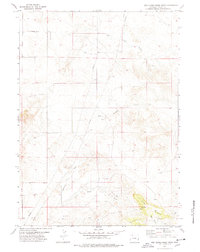
Editions of this 1977 Red Cloud Creek West Map
2 editions found
Other maps of this area

1896 · Patrick
USGS Topo · 1:125,000

1896 · Hartville
USGS Topo · 1:125,000

1901 · Hartville
USGS Topo · 1:125,000

1950 · Casebier Hill
USGS Topo · 1:24,000

1950 · Fort Laramie
USGS Topo · 1:24,000

1951 · Moore Spring
USGS Topo · 1:24,000

1952 · Fort Laramie
USGS Topo · 1:24,000

1954 · Torrington
USGS Topo · 1:250,000

1958 · Torrington
USGS Topo · 1:250,000
1960 · Barnes
USGS Topo · 1:24,000