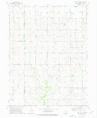
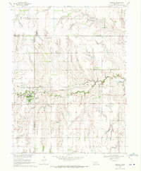
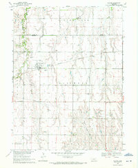
1974 Map of Red Cloud NW
USGS Topo · Published 1977About this map
Agricultural lands along the Franklin and Webster County line are documented in this mid-1970s survey. The landscape is defined by the drainage basins of West Fork Sassafras Creek and the East Fork, with several smaller tributaries such as Farmers Creek and School Creek cutting through the terrain. This period shows a rural community anchored by its local landmarks and burial grounds, providing a clear spatial record for those tracing family history in the region.
Find a feature on this map
12 named features on this map. Tap any name to fly to it.
Don’t see what you’re looking for? This feature index may not catch every label — zoom into the map to look around manually.
Map Details
Editions of this 1974 Red Cloud NW Map
This is the sole edition of this map. No revisions or reprints were ever made.
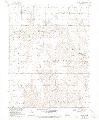
Other maps of this area

1897 · Red Cloud
USGS Topo · 1:125,000
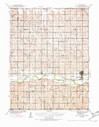
1940 · Red Cloud
USGS Topo · 1:62,500
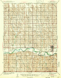
1942 · Red Cloud
USGS Topo · 1:62,500

1955 · Grand Island
USGS Topo · 1:250,000

1957 · Grand Island
USGS Topo · 1:250,000

1958 · Grand Island
USGS Topo · 1:250,000
1969 · Upland SE
USGS Topo · 1:24,000
1969 · Campbell
USGS Topo · 1:24,000
1969 · Bladen
USGS Topo · 1:24,000
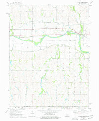
1974 · Riverton
USGS Topo · 1:24,000