
1969 Map of Upland SE
USGS Topo · Published 1971About this map
Osco Cem and Trinity Cem sit on the high ground of this agricultural landscape in the late 1960s, marking the deep-rooted family history of North Franklin and surrounding townships. The area is defined by the drainage systems of the Little Blue River and the Middle Branch Thompson Creek, which carve intricate coulees through the Nebraska plains. Industrial infrastructure of the mid-century is evident in the Burlington Northern railroad line and a large Pipeline that traverses the terrain. While mostly open country divided into sections, the presence of numerous wells and a prominent Radio Tower indicates the utility and connectivity of this rural corridor between Cosmo and Grant townships near the Kearney and Franklin county line.
Find a feature on this map
15 named features on this map. Tap any name to fly to it.
Don’t see what you’re looking for? This feature index may not catch every label — zoom into the map to look around manually.
Map Details
Editions of this 1969 Upland SE Map
This is the sole edition of this map. No revisions or reprints were ever made.
Other maps of this area

1897 · Red Cloud
USGS Topo · 1:125,000

1940 · Red Cloud
USGS Topo · 1:62,500

1942 · Red Cloud
USGS Topo · 1:62,500

1955 · Grand Island
USGS Topo · 1:250,000

1957 · Grand Island
USGS Topo · 1:250,000

1958 · Grand Island
USGS Topo · 1:250,000

1969 · Upland
USGS Topo · 1:24,000
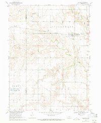
1969 · Holstein
USGS Topo · 1:24,000
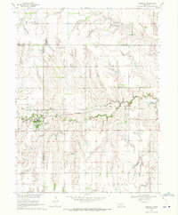
1969 · Campbell
USGS Topo · 1:24,000
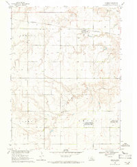
1969 · Norman
USGS Topo · 1:24,000