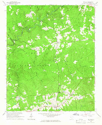
1964 Map of Red Hill
USGS Topo · Published 1966About this map
The Sumter National Forest dominates this mid-1960s landscape, where rural communities are organized around key junctions like Brunson Crossroads and Johnson Crossroads. The terrain is defined by a dense network of waterways, including Turkey Creek and Beaverdam Creek, which dictated early settlement patterns and the placement of crossings like Siloam Bridge. Cultural life in this corner of Edgefield County is marked by numerous country churches and family burial grounds, such as China Grove Ch, the Hollingsworth-Walker Cem, and Price Cem. The historic Martintown Road cuts through the territory, reflecting a long-established transportation corridor. Genealogists will find a high density of named cemeteries including Cochran Cem and Corley Cem, providing a detailed look at the local family history of the area before modern development expanded.
Find a feature on this map
50 named features on this map. Tap any name to fly to it.
Don’t see what you’re looking for? This feature index may not catch every label — zoom into the map to look around manually.
Map Details
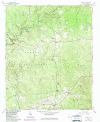
Editions of this 1964 Red Hill Map
2 editions found
Other maps of this area

1892 · Mc Cormick
USGS Topo · 1:125,000

1912 · Mc Cormick
USGS Topo · 1:125,000

1920 · Clarks Hill
USGS Topo · 1:48,000

1921 · Clarks Hill
USGS Topo · 1:62,500

1923 · Warrenville
USGS Topo · 1:48,000

1928 · Warrenville
USGS Topo · 1:62,500

1941 · Clarks Hill
USGS Topo · 1:62,500

1942 · Clarks Hill
USGS Topo · 1:62,500

1943 · Warrenville
USGS Topo · 1:62,500

1953 · Athens
USGS Topo · 1:250,000