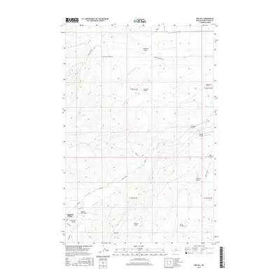
2017 Map of Red Hill
USGS Topo · Published 2017About this map
Sapphire Village and the valley of the Judith River anchor this 2017 study of the central Montana landscape. The geography is defined by a dense network of coulees—steep-walled drainage canyons—that carve through the terrain, including Coal Bank Coulee, Deadman Coulee, and Dipping Vat Coulee. These landforms indicate a historical reliance on seasonal water management, further evidenced by the Belden Ditch and Waite Ditch irrigation infrastructure near the riverbanks.
Find a feature on this map
37 named features on this map. Tap any name to fly to it.
Don’t see what you’re looking for? This feature index may not catch every label — zoom into the map to look around manually.
Map Details
Editions of this 2017 Red Hill Map
This is the sole edition of this map. No revisions or reprints were ever made.
Other maps of this area

1886 · Little Belt Mts.
USGS Topo · 1:250,000

1890 · Fort Benton
USGS Topo · 1:250,000

1892 · Fort Benton
USGS Topo · 1:250,000

1894 · Little Belt Mts.
USGS Topo · 1:250,000

1897 · Fort Benton
USGS Topo · 1:250,000

1897 · Little Belt Mts.
USGS Topo · 1:250,000

1898 · Little Belt Mts.
USGS Topo · 1:250,000

1902 · Little Belt Mts.
USGS Topo · 1:250,000

1948 · White Sulphur Springs
USGS Topo · 1:250,000

1954 · Great Falls
USGS Topo · 1:250,000