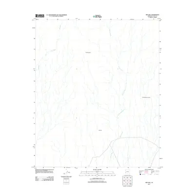
2011 Map of Red Hill
USGS Topo · Published 2011About this map
Trip Mountain stands as a prominent landmark in this corner of the Sonoran Desert within La Paz County. The arid landscape is defined by extensive drainage systems, including the serpentine paths of Yuma Wash and McAllister Wash, which carve through the basin floor towards the southwestern reaches of the sheet. To the southeast, the terrain rises into the Chocolate Mountains, providing a stark contrast to the surrounding alluvial plains. This 2011 survey captures the area near Red Hill during a period of modern land management, where the focus remains on the preservation of natural desert features and ephemeral waterways in a region largely devoid of permanent settlements.
Find a feature on this map
5 named features on this map. Tap any name to fly to it.
Don’t see what you’re looking for? This feature index may not catch every label — zoom into the map to look around manually.
Map Details
Editions of this 2011 Red Hill Map
This is the sole edition of this map. No revisions or reprints were ever made.
Other maps of this area

1934 · Trigo Peaks
USGS Topo · 1:48,000

1939 · Red Hill
USGS Topo · 1:62,500

1939 · Trigo Peaks
USGS Topo · 1:62,500

1942 · Blythe
USGS Topo · 1:250,000

1945 · Cibola
USGS Topo · 1:62,500

1945 · Picacho
USGS Topo · 1:62,500

1951 · Picacho
USGS Topo · 1:62,500

1951 · Cibola
USGS Topo · 1:62,500

1954 · Salton Sea
USGS Topo · 1:250,000

1954 · Red Hill
USGS Topo · 1:62,500