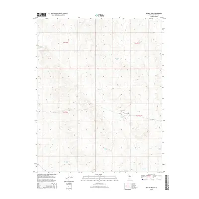
2014 Map of Red Hill Ranch
USGS Topo · Published 2014About this map
Red Hill Ranch serves as a primary point of interest within this Coconino County landscape, situated on the high elevations of the San Francisco Plateau. This 2014 survey reveals an arid environment where water management is critical to ranching operations, evidenced by a network of named livestock tanks and catchment basins. The distribution of features like Windy Wilson Tank, Big Red Hill Tank, and Old Freeman Tank suggests a long history of pastoral land use in northern Arizona. Transportation through the area is facilitated by rural routes such as W Espee Rd and Red Hill Ranch Rd, which navigate the terrain alongside natural drainage features like Monument Wash. The presence of Indian Tank and Pouquette Tank provides specific landmarks for those tracing local land ownership and the historical geography of this ranching district.
Find a feature on this map
19 named features on this map. Tap any name to fly to it.
Don’t see what you’re looking for? This feature index may not catch every label — zoom into the map to look around manually.
Map Details
Editions of this 2014 Red Hill Ranch Map
This is the sole edition of this map. No revisions or reprints were ever made.
Other maps of this area

1886 · Chino
USGS Topo · 1:250,000

1891 · Chino
USGS Topo · 1:250,000

1922 · Williams
USGS Topo · 1:125,000

1948 · Williams
USGS Topo · 1:250,000

1954 · Williams
USGS Topo · 1:250,000

1956 · Williams
USGS Topo · 1:250,000

1960 · Williams
USGS Topo · 1:250,000

1961 · Williams
USGS Topo · 1:250,000
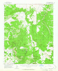
1962 · Hearst Mtn.
USGS Topo · 1:62,500
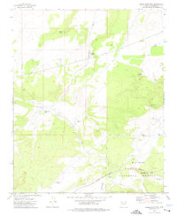
1973 · Eagle Nest Mtn
USGS Topo · 1:24,000