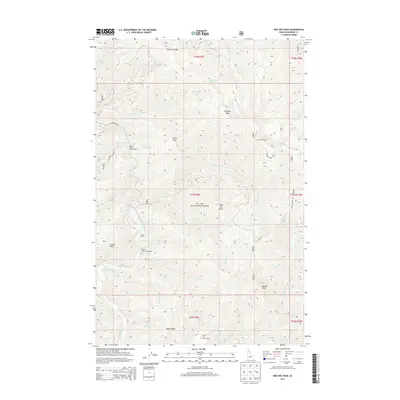
2013 Map of Red Ives Peak
USGS Topo · Published 2013About this map
The Saint Joe River winds through the heart of the St. Joe National Forest, anchoring a landscape defined by sharp elevation changes and high mountain peaks. In this 2013 survey of the Idaho panhandle, the terrain is mapped from the heights of Simmons Ridge in the north down to Elbow Ridge in the south. Notable summits like Red Ives Peak and Needle Peak dominate the topography, while smaller alpine features such as Swimming Bear Lake provide specific points of interest for backcountry navigation. The map illustrates a network of forestry infrastructure, including the Simmons Tower Rd leading to the Simmons Lookout. Established recreational sites such as the Beaver Creek Campground and Spruce Tree Campground are situated along the river valley, alongside the Broken Leg Forest Cabin, showing the long-standing management of this wilderness by the U.S. Forest Service.
Find a feature on this map
44 named features on this map. Tap any name to fly to it.
Don’t see what you’re looking for? This feature index may not catch every label — zoom into the map to look around manually.
Map Details
Editions of this 2013 Red Ives Peak Map
This is the sole edition of this map. No revisions or reprints were ever made.
Other maps of this area

1911 · Lolo
USGS Topo · 1:250,000

1913 · Lolo
USGS Topo · 1:250,000

1918 · St Regis
USGS Topo · 1:125,000

1919 · St. Regis
USGS Topo · 1:125,000

1956 · Wallace
USGS Topo · 1:250,000

1956 · Hamilton
USGS Topo · 1:250,000

1957 · Illinois Peak
USGS Topo · 1:62,500

1957 · Simmons Peak
USGS Topo · 1:62,500

1959 · Hamilton
USGS Topo · 1:250,000

1960 · Wallace
USGS Topo · 1:250,000