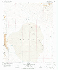
1968 Map of Red Lake
USGS Topo · Published 1978About this map
Red Lake and the vast Hualapai Valley dominate this northern Arizona landscape, captured during the late 1960s. The terrain transitions from the low-lying basin of the dry lake bed to the eastern slopes of the Cerbat Mountains. This area serves as a critical ranching and transit corridor, evidenced by the network of water catchments including Valley Tank, Lake Tank, Corner Tank, and North Tank, alongside a lonely Corral near the mountain foothills. The mapping of Stockton Hill Road and Pierce Ferry Road illustrates the primary routes used by locals and travelers navigating the high desert. A Jeep Trail winds into the mountain terrain, indicating the more difficult paths used for land management or mineral exploration in the Cerbat range.
Find a feature on this map
18 named features on this map. Tap any name to fly to it.
Don’t see what you’re looking for? This feature index may not catch every label — zoom into the map to look around manually.
Map Details
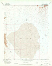
Editions of this 1968 Red Lake Map
2 editions found
Other maps of this area

1886 · Diamond Creek
USGS Topo · 1:250,000

1886 · Camp Mohave
USGS Topo · 1:250,000

1892 · Diamond Creek
USGS Topo · 1:250,000

1892 · Camp Mohave
USGS Topo · 1:250,000

1942 · Camp Mohave
USGS Topo · 1:250,000

1947 · Kingman
USGS Topo · 1:250,000

1948 · Kingman
USGS Topo · 1:250,000

1948 · Williams
USGS Topo · 1:250,000

1954 · Kingman
USGS Topo · 1:250,000

1954 · Williams
USGS Topo · 1:250,000