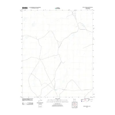
2010 Map of Red Lake Well
USGS Topo · Published 2010About this map
Red Lake Well serves as a central landmark in this high-desert landscape, located within the Fort Defiance Agency region of New Mexico. The geography is characterized by an intricate network of tribal transit corridors, most notably Indian Service Route 7057, which traverses the terrain from the northwest down to the south. This route is joined by several other arterials, including Indian Service Route 7141 and Indian Service Route 7101, reflecting the modern infrastructure and connectivity of the area. The natural drainage of the land is defined by Indian Creek, which winds through the northern reaches of the quadrangle. This 2010 survey illustrates the sparse but vital settlement patterns and resource management in this arid territory, where named wells and service roads provide the primary points of human orientation.
Find a feature on this map
5 named features on this map. Tap any name to fly to it.
Don’t see what you’re looking for? This feature index may not catch every label — zoom into the map to look around manually.
Map Details
Editions of this 2010 Red Lake Well Map
This is the sole edition of this map. No revisions or reprints were ever made.
Other maps of this area

1886 · Wingate
USGS Topo · 1:250,000

1889 · Chaco
USGS Topo · 1:250,000

1892 · Wingate
USGS Topo · 1:250,000

1892 · Chaco
USGS Topo · 1:250,000

1954 · Shiprock
USGS Topo · 1:250,000

1954 · Gallup
USGS Topo · 1:250,000

1958 · Gallup
USGS Topo · 1:250,000

1958 · Shiprock
USGS Topo · 1:250,000

1959 · Shiprock
USGS Topo · 1:250,000

1959 · Gallup
USGS Topo · 1:250,000