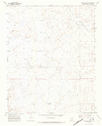
1970 Map of Red Lake Well
USGS Topo · Published 1973About this map
The Navajo Indian Reservation landscape of 1970 is defined by its sparse but vital water sources across the high desert terrain. Located in McKinley County, the area centers on the eponymous Red Lake Well (Flowing), a notable perennial water point for local livestock and habitation in an otherwise arid environment. This 1970 survey, based on aerial photography from the previous year, highlights the intricate drainage patterns of Indian Creek, which cuts through the mesas in the northeast. The map's detail of fence lines and unimproved roads reveals the delicate infrastructure required for ranching and movement across the reservation during this era, providing a precise record of human presence in a landscape where permanent settlements are few and far between.
Find a feature on this map
3 named features on this map. Tap any name to fly to it.
Don’t see what you’re looking for? This feature index may not catch every label — zoom into the map to look around manually.
Map Details
Editions of this 1970 Red Lake Well Map
This is the sole edition of this map. No revisions or reprints were ever made.
Other maps of this area

1886 · Wingate
USGS Topo · 1:250,000

1889 · Chaco
USGS Topo · 1:250,000

1892 · Wingate
USGS Topo · 1:250,000

1892 · Chaco
USGS Topo · 1:250,000

1954 · Shiprock
USGS Topo · 1:250,000

1954 · Gallup
USGS Topo · 1:250,000

1958 · Gallup
USGS Topo · 1:250,000

1958 · Shiprock
USGS Topo · 1:250,000

1959 · Shiprock
USGS Topo · 1:250,000

1959 · Gallup
USGS Topo · 1:250,000