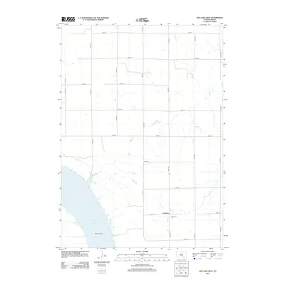
2012 Map of Red Lake West
USGS Topo · Published 2012About this map
Lake Francis Case dominates the southwestern corner of this landscape in Brule County, where the Missouri River's impoundment shapes the modern shoreline. The terrain transitions from the water's edge at Bailey Island to a highly organized section-line road grid that defines the agricultural interior. The small settlement of Grandview serves as a local focal point, anchored by the Grandview Cem located just east of Reimer Cr. This survey illustrates the 21st-century rural layout of South Dakota, where named avenues like 344th Ave and 347th Ave provide the primary structure for movement across the plains. The map captures the quiet intersection of natural drainage and modern civil engineering in a sparsely populated prairie environment.
Find a feature on this map
21 named features on this map. Tap any name to fly to it.
Don’t see what you’re looking for? This feature index may not catch every label — zoom into the map to look around manually.
Map Details
Editions of this 2012 Red Lake West Map
This is the sole edition of this map. No revisions or reprints were ever made.
Other maps of this area

1935 · Chamberlain
USGS Topo · 1:62,500

1939 · Chamberlain
USGS Topo · 1:62,500

1940 · Iona
USGS Topo · 1:62,500

1941 · Pukwana
USGS Topo · 1:62,500

1944 · Iona
USGS Topo · 1:62,500

1951 · Pukwana
USGS Topo · 1:62,500

1952 · Oacoma
USGS Topo · 1:24,000

1952 · Iona NW
USGS Topo · 1:24,000

1955 · Mitchell
USGS Topo · 1:250,000

1959 · Mitchell
USGS Topo · 1:250,000