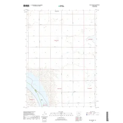
2017 Map of Red Lake West
USGS Topo · Published 2017About this map
The Missouri River corridor south of Chamberlain defines this portion of the South Dakota landscape, where the wide expanse of Lake Francis Case is framed by the rugged bluffs of the river valley. The boundary between Brule County and Lyman County follows the river's center, cutting through Bailey Island. The upland plains are organized by a rigid section-line road grid, including Hwy 50 and numerous numbered avenues like 347th Ave. Genealogists and local historians will find the Grandview Cem near 258th St, a quiet landmark in an area dominated by large-scale agricultural tracts and the winding drainage of Reimer Cr. The map illustrates the 21st-century configuration of the Missouri, reflecting the impact of mid-century damming projects on the original river channel and surrounding geography.
Find a feature on this map
29 named features on this map. Tap any name to fly to it.
Don’t see what you’re looking for? This feature index may not catch every label — zoom into the map to look around manually.
Map Details
Editions of this 2017 Red Lake West Map
This is the sole edition of this map. No revisions or reprints were ever made.
Other maps of this area

1935 · Chamberlain
USGS Topo · 1:62,500

1939 · Chamberlain
USGS Topo · 1:62,500

1940 · Iona
USGS Topo · 1:62,500

1941 · Pukwana
USGS Topo · 1:62,500

1944 · Iona
USGS Topo · 1:62,500

1951 · Pukwana
USGS Topo · 1:62,500

1952 · Oacoma
USGS Topo · 1:24,000

1952 · Iona NW
USGS Topo · 1:24,000

1955 · Mitchell
USGS Topo · 1:250,000

1959 · Mitchell
USGS Topo · 1:250,000