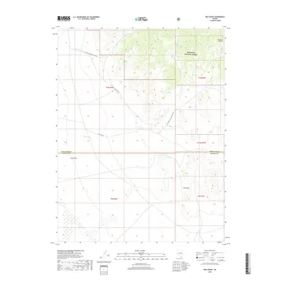
2018 Map of Red Ledges
USGS Topo · Published 2018About this map
Humboldt National Forest dominates the northeastern highlands of this 2018 quadrangle, where the terrain descends toward the broad expanse of Spring Valley. The landscape is defined by its drainages and distinctive geological formations, most notably the Red Ledges and the winding course of Johns Wash. This modern survey illustrates the intersection of high-desert topography and public land management at the White Pine and Lincoln County line. Transportation through these high basins relies on remote access routes like Johns Wash Rd and Big Springs Rd, which provide passage between the mountain canyons and the valley floor. To the north, Murphy Wash and West Fork Canyon carve through the forest boundary, illustrating the complex erosional patterns typical of the Great Basin region.
Find a feature on this map
16 named features on this map. Tap any name to fly to it.
Don’t see what you’re looking for? This feature index may not catch every label — zoom into the map to look around manually.
Map Details
Editions of this 2018 Red Ledges Map
This is the sole edition of this map. No revisions or reprints were ever made.
Other maps of this area

1948 · Wheeler Peak
USGS Topo · 1:62,500

1949 · Garrison
USGS Topo · 1:62,500

1950 · Wheeler Peak
USGS Topo · 1:62,500

1951 · Garrison
USGS Topo · 1:62,500

1956 · Lund
USGS Topo · 1:250,000

1960 · Lund
USGS Topo · 1:250,000

1972 · Hyde Well
USGS Topo · 1:24,000

1972 · Big Springs
USGS Topo · 1:24,000

1973 · Indian Springs Knolls
USGS Topo · 1:24,000

1973 · Red Ledges
USGS Topo · 1:24,000