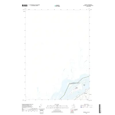
2019 Map of Red Mills
USGS Topo · Published 2019About this map
Red Mills sits along the southern bank of the St Lawrence River, marking a point of transition where the river's international boundary separates the United States from Canada. The aquatic landscape is defined by large riverine features like Galop Island and Shoemaker Island, which dominate the channel near the border. Inland from the river's edge, the terrain is shaped by several small waterways including Sawmill Cr, Drivers Cr, and McLaughlin Cr, which drain into the main river system. This 2019 survey documents the modern road network in this borderland area, specifically identifying Wallace Rd and Ross Rd as they connect the riverfront settlement to the surrounding Saint Lawrence County interior. The cartography provides a clear look at the proximity between the northern New York shoreline and Benedict Island, reflecting the historical and ongoing importance of the Saint Lawrence River as both a corridor for transit and a definitive political boundary.
Find a feature on this map
12 named features on this map. Tap any name to fly to it.
Don’t see what you’re looking for? This feature index may not catch every label — zoom into the map to look around manually.
Map Details
Editions of this 2019 Red Mills Map
This is the sole edition of this map. No revisions or reprints were ever made.
Other maps of this area

1904 · Lisbon
USGS Topo · 1:48,000

1904 · Ogdensburg
USGS Topo · 1:62,500

1905 · Ogdensburg
USGS Topo · 1:62,500

1906 · Brier Hill
USGS Topo · 1:62,500

1906 · Red Mills
USGS Topo · 1:62,500

1943 · Ogdensburg East
USGS Topo · 1:31,680

1943 · Lisbon
USGS Topo · 1:31,680
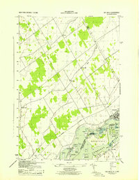
1943 · Red Mills
USGS Topo · 1:31,680
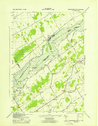
1943 · Sparrowhawk Point
USGS Topo · 1:31,680
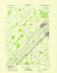
1943 · Ogdensburg West
USGS Topo · 1:31,680