
2023 Map of Red Mills
USGS Topo · Published 2023About this map
Saint Lawrence River frontage dominates this borderlands landscape, marking the international boundary between the United States and Canada. The settlement of Red Mills occupies the south bank, situated near a complex of river features including Galop Island, Shoemaker Island, and Benedict Island. These landforms in the river indicate the intricate hydrography of the region's shared waterway, where local life is connected by thoroughfares like Ross Rd and the waterfront access at Wallace Pt. The map documents a sparsely populated but geographically significant stretch of St. Lawrence County, where the relationship between the shoreline and the shipping channels of the river defines the local character.
Find a feature on this map
8 named features on this map. Tap any name to fly to it.
Don’t see what you’re looking for? This feature index may not catch every label — zoom into the map to look around manually.
Map Details
Editions of this 2023 Red Mills Map
This is the sole edition of this map. No revisions or reprints were ever made.
Other maps of this area

1904 · Lisbon
USGS Topo · 1:48,000

1904 · Ogdensburg
USGS Topo · 1:62,500

1905 · Ogdensburg
USGS Topo · 1:62,500

1906 · Brier Hill
USGS Topo · 1:62,500

1906 · Red Mills
USGS Topo · 1:62,500

1943 · Ogdensburg East
USGS Topo · 1:31,680

1943 · Lisbon
USGS Topo · 1:31,680
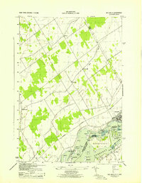
1943 · Red Mills
USGS Topo · 1:31,680
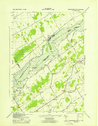
1943 · Sparrowhawk Point
USGS Topo · 1:31,680
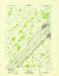
1943 · Ogdensburg West
USGS Topo · 1:31,680