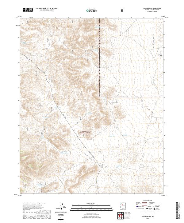
2021 Map of Red Mountain
USGS Topo · Published 2021About this map
The Prescott National Forest covers much of this high-desert terrain, where the Juniper Mountains transition into the wide expanse of the Big Chino Valley. The landscape is defined by its water management systems, essential for cattle ranching and wildlife in this arid region of Arizona. A network of named reservoirs, including Iron Mine Tank, Schroeder Tank, and Walter Spreader Tank, are scattered across the township lines. These features, often named for local figures or proximity to landmarks like Red Mtn, offer a clear look at the infrastructure required for land use in the backcountry. Access is provided by a series of primitive routes such as FR 664 and other Forest Service roads, which cut through the drainage basins of the Pine Spring Draw Tank and surrounding slopes.
Find a feature on this map
26 named features on this map. Tap any name to fly to it.
Don’t see what you’re looking for? This feature index may not catch every label — zoom into the map to look around manually.
Map Details
Editions of this 2021 Red Mountain Map
This is the sole edition of this map. No revisions or reprints were ever made.
Other maps of this area

1886 · Chino
USGS Topo · 1:250,000

1887 · Prescott
USGS Topo · 1:250,000

1891 · Chino
USGS Topo · 1:250,000

1892 · Prescott
USGS Topo · 1:250,000

1947 · Simmons
USGS Topo · 1:62,500

1947 · Picacho Butte
USGS Topo · 1:62,500

1947 · Turkey Canyon
USGS Topo · 1:62,500

1947 · Camp Wood
USGS Topo · 1:62,500

1948 · Williams
USGS Topo · 1:250,000

1948 · Picacho Butte
USGS Topo · 1:63,360