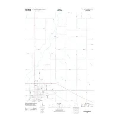
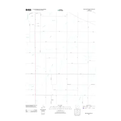
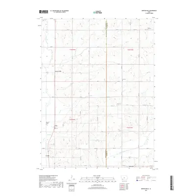
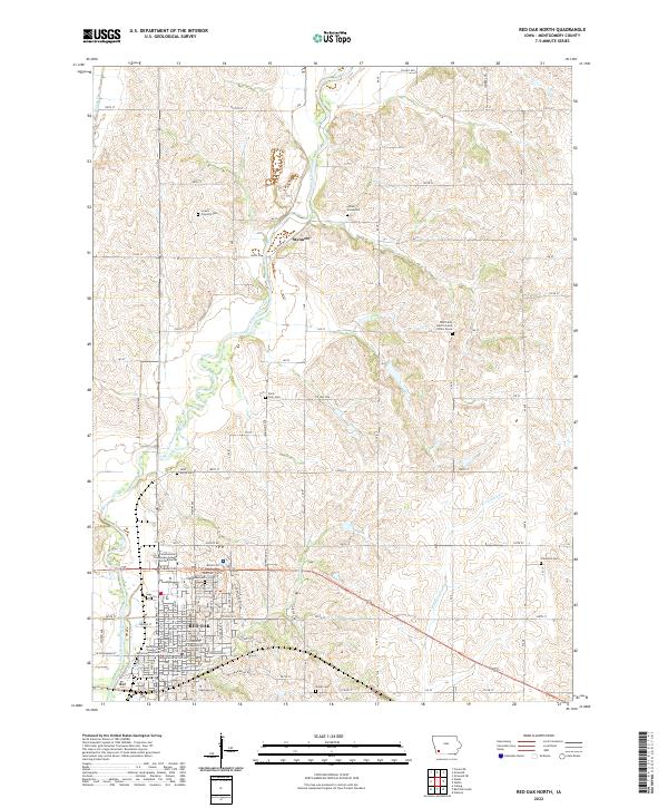
1978 Map of Red Oak North
USGS Topo · Published 1978About this map
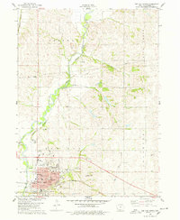
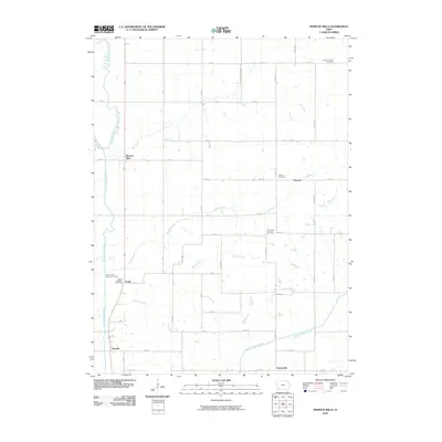
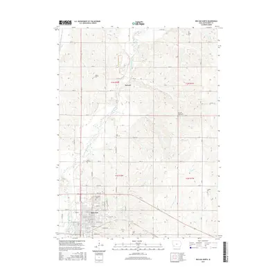
The East Nishnabotna River flows through the heart of Montgomery County, providing a natural corridor for the Burlington Northern railroad in this late 1970s topographical record. The city of Red Oak anchors the southern portion of the map, showing a dense grid of infrastructure including the Murphy Mem Hosp, several local schools like Washington Sch and Webster Sch, and the expansive Evergreen Cem. The map illustrates a rural landscape transitioning into an organized municipal center, where the river's path is managed by a Floodgate and a local Waterworks facility.
Find a feature on this map
39 named features on this map. Tap any name to fly to it.
Don’t see what you’re looking for? This feature index may not catch every label — zoom into the map to look around manually.
Map Details
Editions of this 1978 Red Oak North Map
This is the sole edition of this map. No revisions or reprints were ever made.
Historical Maps of Red Oak Through Time
30 maps found
1978 Red Oak North
Montgomery County, IA
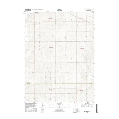
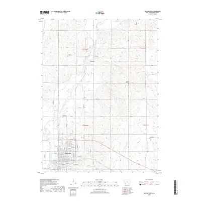
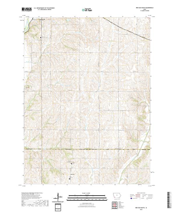
1978 Red Oak South
Montgomery County, IA
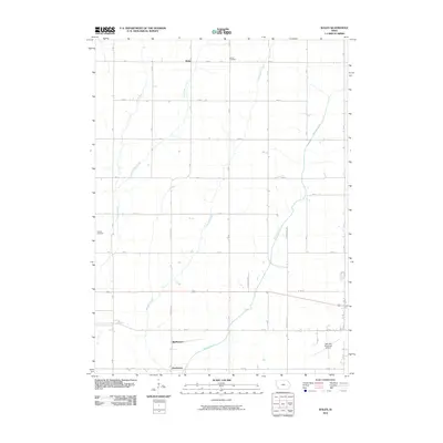
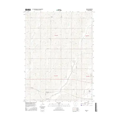
1978 Wales
Montgomery County, IA
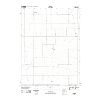
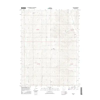
1978 Wallin
Montgomery County, IA
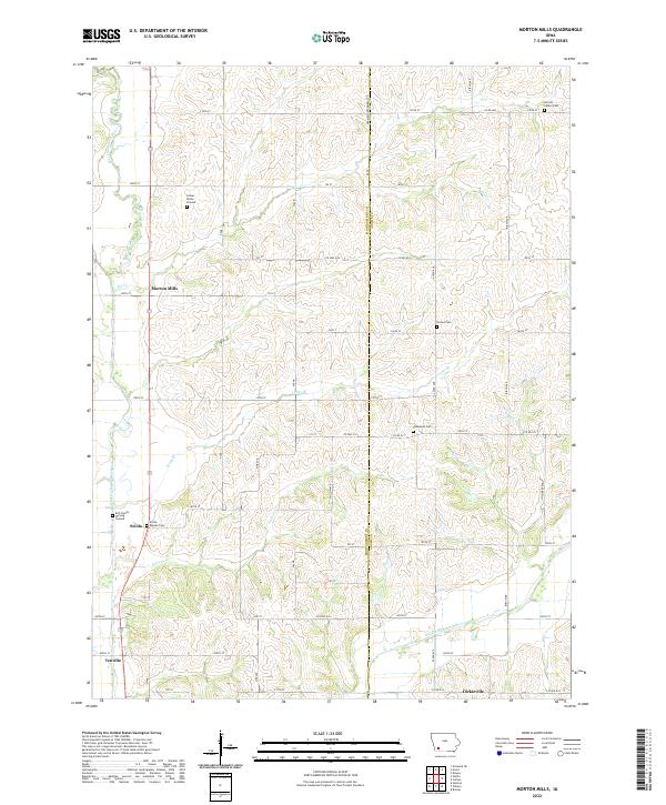
1980 Morton Mills
Montgomery County, IA
2010 Morton Mills
Montgomery County, IA
2010 Red Oak North
Montgomery County, IA
2010 Red Oak South
Montgomery County, IA
2010 Wales
Montgomery County, IA
2010 Wallin
Montgomery County, IA
2013 Morton Mills
Montgomery County, IA
2013 Red Oak North
Montgomery County, IA
2013 Red Oak South
Montgomery County, IA
2013 Wales
Montgomery County, IA
2013 Wallin
Montgomery County, IA
2015 Morton Mills
Montgomery County, IA
2015 Red Oak North
Montgomery County, IA
2015 Red Oak South
Montgomery County, IA
2015 Wales
Montgomery County, IA
2015 Wallin
Montgomery County, IA
2018 Morton Mills
Montgomery County, IA
2018 Red Oak North
Montgomery County, IA
2018 Red Oak South
Montgomery County, IA
2018 Wales
Montgomery County, IA
2018 Wallin
Montgomery County, IA
2022 Morton Mills
Montgomery County, IA
2022 Red Oak North
Montgomery County, IA
2022 Red Oak South
Montgomery County, IA
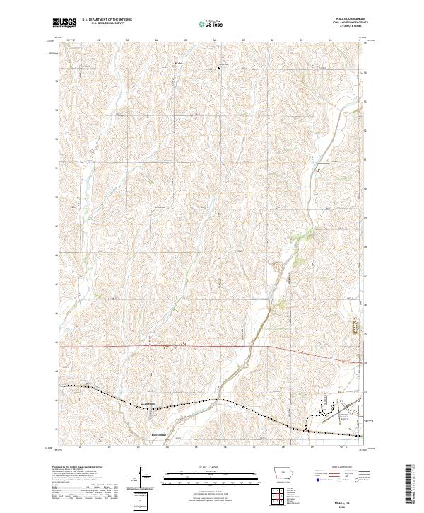
2022 Wales
Montgomery County, IA
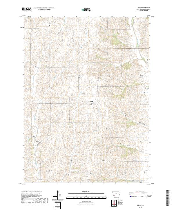
2022 Wallin
Montgomery County, IA