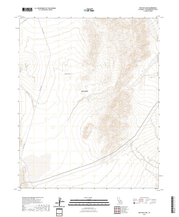
2021 Map of Red Pass Lake
USGS Topo · Published 2021About this map
The Mojave Desert terrain dominates this survey of the northern Soda Mountains region, providing a high-resolution look at the complex topography of the California high desert. This corner of San Bernardino County is characterized by significant vertical relief, where steep ridges give way to expansive desert basins. Human passage through this landscape is defined by remote thoroughfares like Red Pass Lake Rd, which traverses the western portion of the quadrangle, and E Range Rd in the north. The map documents the intricate drainage patterns and contour intervals that define the character of this arid environment. By tracing the public land survey system grid, researchers can locate specific sections across the T14N R6E and T15N R6E townships, reflecting the foundational mapping of the American West.
Find a feature on this map
10 named features on this map. Tap any name to fly to it.
Don’t see what you’re looking for? This feature index may not catch every label — zoom into the map to look around manually.
Map Details
Editions of this 2021 Red Pass Lake Map
This is the sole edition of this map. No revisions or reprints were ever made.
Other maps of this area

1933 · Avawatz Mountains
USGS Topo · 1:250,000

1947 · Trona
USGS Topo · 1:250,000

1948 · Red Pass Lake
USGS Topo · 1:62,500

1948 · Trona
USGS Topo · 1:250,000

1948 · Cave Mountain
USGS Topo · 1:62,500

1951 · Cave Mountain
USGS Topo · 1:62,500

1951 · Red Pass Lake
USGS Topo · 1:62,500

1953 · Trona
USGS Topo · 1:250,000
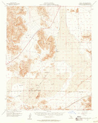
1956 · Soda Lake
USGS Topo · 1:62,500

1956 · Baker
USGS Topo · 1:62,500