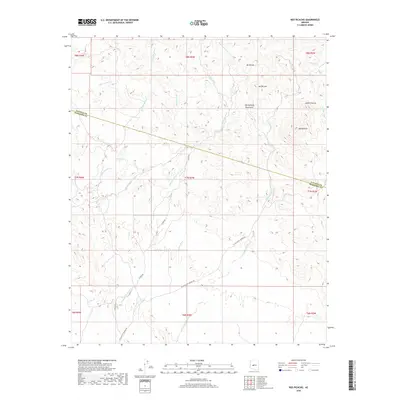
2018 Map of Red Picacho
USGS Topo · Published 2018About this map
Wickenburg Mountains and their prominent peaks define this arid landscape along the boundary of Yavapai and Maricopa counties. The terrain is characterized by a complex network of ephemeral drainages, including the expansive San Domingo Wash and Little San Domingo Wash, which have carved deep paths through the high desert. Prominent landmarks such as Red Picacho and White Picacho serve as essential navigational markers in a region where few permanent roads exist. N Mine Rd and N Castle Hot Springs Rd provide the primary access points into this interior, suggesting a history of mineral exploration and transport. The dense concentration of named washes, such as Trilby Wash and Monarch Wash, underscores the importance of water management and topography for those traversing or prospecting in these mountain ranges.
Find a feature on this map
28 named features on this map. Tap any name to fly to it.
Don’t see what you’re looking for? This feature index may not catch every label — zoom into the map to look around manually.
Map Details
Editions of this 2018 Red Picacho Map
This is the sole edition of this map. No revisions or reprints were ever made.
Other maps of this area

1887 · Prescott
USGS Topo · 1:250,000

1892 · Prescott
USGS Topo · 1:250,000

1903 · Bradshaw Mountains
USGS Topo · 1:125,000

1903 · Congress
USGS Topo · 1:125,000

1904 · Congress
USGS Topo · 1:125,000

1947 · Crown King
USGS Topo · 1:62,500

1947 · Wagoner
USGS Topo · 1:62,500

1948 · Crown King
USGS Topo · 1:63,360

1948 · Wagoner
USGS Topo · 1:63,360

1950 · Wagoner
USGS Topo · 1:62,500