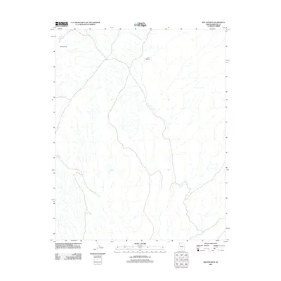
2011 Map of Red Pockets
USGS Topo · Published 2011About this map
Red Pockets defines the landscape of this Mohave County high-desert terrain, characterized by a complex drainage network and vital water-collection points. In this arid environment, water management is the primary sign of human interaction with the land, evidenced by Red Pocket Tanks and Cove Spring. The relief is shaped by deep incisions like Cow Canyon, while seasonal water flow is tracked through the Tom and Cull Wash system. This 2011 survey provides a high-resolution look at the geographic isolation of the region, where named landmarks often center on these critical natural catchments and springs that have long dictated movement through the territory.
Find a feature on this map
5 named features on this map. Tap any name to fly to it.
Don’t see what you’re looking for? This feature index may not catch every label — zoom into the map to look around manually.
Map Details
Editions of this 2011 Red Pockets Map
This is the sole edition of this map. No revisions or reprints were ever made.
Other maps of this area

1886 · Saint Thomas
USGS Topo · 1:250,000

1886 · Mt. Trumbull
USGS Topo · 1:250,000

1892 · Mt. Trumbull
USGS Topo · 1:250,000

1893 · Saint Thomas
USGS Topo · 1:250,000

1926 · Bonelli
USGS Topo · 1:96,000

1953 · Gold Butte
USGS Topo · 1:62,500

1953 · Grand Canyon
USGS Topo · 1:250,000

1954 · Las Vegas
USGS Topo · 1:250,000

1954 · Littlefield 3 SW
USGS Topo · 1:24,000

1954 · Littlefield 3 NE
USGS Topo · 1:24,000