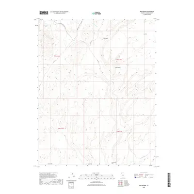
2018 Map of Red Pockets
USGS Topo · Published 2018About this map
Bikepacking: The Plateau Passage winds through this high-desert landscape in northern Mohave County, where the eastern reaches of the Mojave Desert meet the drainage networks of the Arizona Strip. The terrain is defined by a series of significant washes, including Pakoon Wash and Cottonwood Wash, which carve through the land south of Mud Mtn. Water remains the critical resource for any traveler in this arid region, as evidenced by the presence of Red Pocket Tanks and Cove Spring. These isolated water sources, along with the deep cuts of Cow Canyon, highlight the challenges of transit and settlement in a territory where early development followed the contours of Co HWY 101 and the primitive RD 1027.
Find a feature on this map
16 named features on this map. Tap any name to fly to it.
Don’t see what you’re looking for? This feature index may not catch every label — zoom into the map to look around manually.
Map Details
Editions of this 2018 Red Pockets Map
This is the sole edition of this map. No revisions or reprints were ever made.
Other maps of this area

1886 · Saint Thomas
USGS Topo · 1:250,000

1886 · Mt. Trumbull
USGS Topo · 1:250,000

1892 · Mt. Trumbull
USGS Topo · 1:250,000

1893 · Saint Thomas
USGS Topo · 1:250,000

1926 · Bonelli
USGS Topo · 1:96,000

1953 · Gold Butte
USGS Topo · 1:62,500

1953 · Grand Canyon
USGS Topo · 1:250,000

1954 · Las Vegas
USGS Topo · 1:250,000

1954 · Littlefield 3 SW
USGS Topo · 1:24,000

1954 · Littlefield 3 NE
USGS Topo · 1:24,000