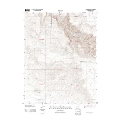
2013 Map of Red Rock Canyon
USGS Topo · Published 2013About this map
Gunnison River carving through the Black Canyon of the Gunnison National Park defines the dramatic northeastern geography of this Colorado quadrangle. The map reveals the sharp contrast between the deep chasm of Red Rock Canyon and the surrounding high terrain of Green Mountain and Warner Point. Human activity in the area is concentrated along the irrigation networks and flatter mesas, where the Loutsenhizer Canal and various laterals, such as A B Lateral, support local agriculture near Bostwick Park. The western portion of the sheet is dominated by distinct topographic features like North Mesa and Flat Top, while the namesake Red Rocks sit centrally. A sparse but essential road network, including Landfill Rd and La Salle Rd, connects these high-desert landscapes.
Find a feature on this map
27 named features on this map. Tap any name to fly to it.
Don’t see what you’re looking for? This feature index may not catch every label — zoom into the map to look around manually.
Map Details
Editions of this 2013 Red Rock Canyon Map
This is the sole edition of this map. No revisions or reprints were ever made.
Other maps of this area

1909 · Montrose
USGS Topo · 1:125,000

1911 · Montrose
USGS Topo · 1:125,000

1955 · Olathe NW
USGS Topo · 1:24,000

1955 · Black Ridge
USGS Topo · 1:24,000

1955 · Olathe
USGS Topo · 1:24,000

1955 · Red Rock Canyon
USGS Topo · 1:24,000

1956 · Montrose
USGS Topo · 1:250,000

1957 · Cerro Summit
USGS Topo · 1:24,000

1957 · Grizzly Ridge
USGS Topo · 1:24,000

1959 · Montrose
USGS Topo · 1:250,000