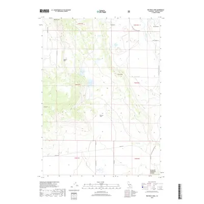
2018 Map of Red Rock Lakes
USGS Topo · Published 2018About this map
Red Rock Valley defines this high-elevation landscape in the southern reaches of the Klamath National Forest. The 2018 survey reveals a terrain shaped by volcanic and tectonic activity, marked by prominent rises such as Mahogany Mtn and Sheep Mtn. These peaks overlook a series of natural catchments including the eponymous Red Rock Lakes, Souza Lake, and Deyarmie Lake, which provide essential water sources in an otherwise arid northern California setting.
Find a feature on this map
29 named features on this map. Tap any name to fly to it.
Don’t see what you’re looking for? This feature index may not catch every label — zoom into the map to look around manually.
Map Details
Editions of this 2018 Red Rock Lakes Map
This is the sole edition of this map. No revisions or reprints were ever made.
Other maps of this area

1886 · Modoc Lava Bed
USGS Topo · 1:250,000

1892 · Modoc Lava-Bed
USGS Topo · 1:250,000

1950 · Mt. Dome
USGS Topo · 1:62,500

1950 · Bray
USGS Topo · 1:62,500

1950 · Dorris
USGS Topo · 1:62,500

1952 · Medicine Lake
USGS Topo · 1:62,500

1954 · Alturas
USGS Topo · 1:250,000

1958 · Alturas
USGS Topo · 1:250,000

1962 · Alturas
USGS Topo · 1:250,000

1965 · Alturas
USGS Topo · 1:250,000