
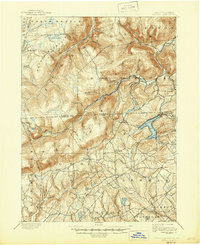
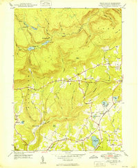
1995 Map of Red Rock
USGS Topo · Published 1998About this map
North Mountain and the high plateaus of the Endless Mountains dominate this landscape, where the borders of Sullivan, Luzerne, and Columbia counties meet. The area is defined by the steep glens of Ricketts Glen State Park, showcasing numerous water features such as Kitchen Creek Falls, Lake Jean, and Ganoga Lake. These highlands served as a significant timber and recreation resource, evidenced by the Old Railroad Grade winding across Cherry Ridge and the sprawling expanse of State Game Lands No 13.
Find a feature on this map
69 named features on this map. Tap any name to fly to it.
Don’t see what you’re looking for? This feature index may not catch every label — zoom into the map to look around manually.
Map Details
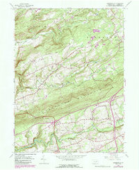
Editions of this 1995 Red Rock Map
This is the sole edition of this map. No revisions or reprints were ever made.
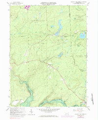
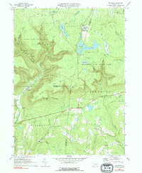
Historical Maps of Colley Township Through Time
26 maps found
1893 Harvey Lake
Luzerne County, PA
1946 Sweet Valley
Luzerne County, PA

1946 Sybertsville
Luzerne County, PA
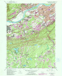
1947 Wilkes-Barre East
Luzerne County, PA
1947 Wilkes-Barre West
Luzerne County, PA
1949 Sweet Valley
Luzerne County, PA

1950 Wilkes-Barre East
Luzerne County, PA

1950 Wilkes-Barre West
Luzerne County, PA
1955 Sybertsville
Luzerne County, PA
1965 Pleasant View Summit
Luzerne County, PA
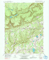
1969 Red Rock
Luzerne County, PA

1976 Pleasant View Summit
Luzerne County, PA

1976 Sybertsville
Luzerne County, PA

1976 Wilkes-Barre East
Luzerne County, PA

1976 Wilkes-Barre West
Luzerne County, PA

1992 Pleasant View Summit
Luzerne County, PA

1994 Wilkes-Barre East
Luzerne County, PA
1995 Red Rock
Luzerne County, PA

1997 Pleasant View Summit
Luzerne County, PA

1999 Wilkes-Barre East
Luzerne County, PA

2023 Pleasant View Summit
Luzerne County, PA

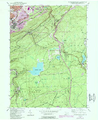
2023 Red Rock
Luzerne County, PA
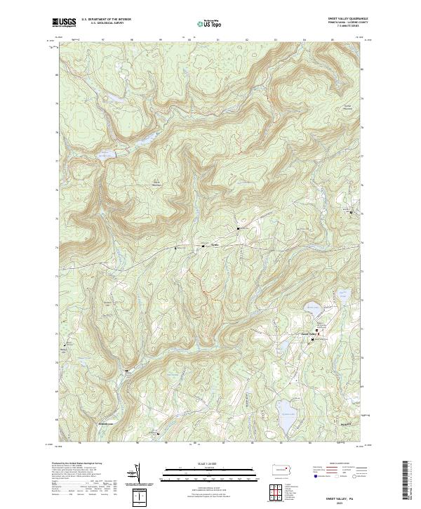
2023 Sweet Valley
Luzerne County, PA

2023 Sybertsville
Luzerne County, PA
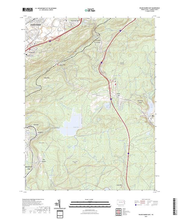
2023 Wilkes-Barre East
Luzerne County, PA

2023 Wilkes-Barre West
Luzerne County, PA
Featured Locations
- Sugarloaf Township, PA
- Davidson Township, PA
- Colley Township, PA
- Mossville, Fairmount Township
- Red Rock, Fairmount Township