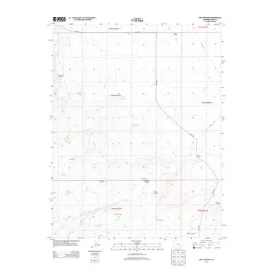
2013 Map of Red Top Ranch
USGS Topo · Published 2013About this map
Red Top Ranch and Freds Camp anchor this landscape in eastern Pueblo County, defined by a critical network of water management in an arid environment. The map details an intricate system of windmills and reservoirs, including Upper Doyle Reservoir and South Studebaker Reservoir, which supported ranching operations in these high plains. Water sources like Peck Spring and Airy Spring are essential landmarks in a region where drainage follows the winding courses of Chicosa Cr and Peterson Cr. Topographic features such as Cone Pinnacle and the deep cuts of McElhaney Canyon break the terrain, while the extensive grid of windmills—from Big Flat Windmill to the Division Windmill—illustrates the infrastructure required for the cattle industry during the early twenty-first century.
Find a feature on this map
32 named features on this map. Tap any name to fly to it.
Don’t see what you’re looking for? This feature index may not catch every label — zoom into the map to look around manually.
Map Details
Editions of this 2013 Red Top Ranch Map
This is the sole edition of this map. No revisions or reprints were ever made.
Other maps of this area

1891 · Nepesta
USGS Topo · 1:125,000

1891 · Apishapa
USGS Topo · 1:125,000

1893 · Nepesta
USGS Topo · 1:125,000

1893 · Apishapa
USGS Topo · 1:125,000

1897 · Apishapa
USGS Topo · 1:125,000

1904 · Nepesta
USGS Topo · 1:125,000

1954 · Trinidad
USGS Topo · 1:250,000

1954 · Pueblo
USGS Topo · 1:250,000

1955 · Trinidad
USGS Topo · 1:250,000

1957 · Pueblo
USGS Topo · 1:250,000