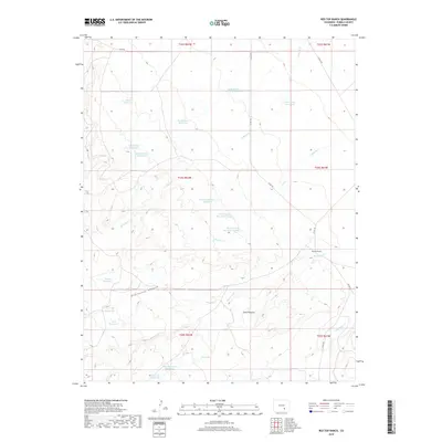
2019 Map of Red Top Ranch
USGS Topo · Published 2019About this map
Red Top Ranch anchors this high-desert landscape in Pueblo County, where water management is the primary driver of the map's layout. A dense network of catchments and basins, including Upper Doyle Reservoir and School Section Reservoir, illustrates the efforts to sustain livestock and agricultural activity in an arid environment. The terrain is marked by the winding courses of Chicosa Cr and its tributaries, which have carved prominent features such as McElhaney Canyon. The presence of Airy Spring and Peck Spring highlights the importance of natural water sources alongside man-made infrastructure. This survey captures a specific pastoral economy, evidenced by the named pastures and reservoirs like West Pasture Reservoir Number 1 and South Studebaker Reservoir that dominate the township sections. Rising above the drainage plains, Cone Pinnacle provides a distinct topographical landmark within the local range.
Find a feature on this map
30 named features on this map. Tap any name to fly to it.
Don’t see what you’re looking for? This feature index may not catch every label — zoom into the map to look around manually.
Map Details
Editions of this 2019 Red Top Ranch Map
This is the sole edition of this map. No revisions or reprints were ever made.
Other maps of this area

1891 · Nepesta
USGS Topo · 1:125,000

1891 · Apishapa
USGS Topo · 1:125,000

1893 · Nepesta
USGS Topo · 1:125,000

1893 · Apishapa
USGS Topo · 1:125,000

1897 · Apishapa
USGS Topo · 1:125,000

1904 · Nepesta
USGS Topo · 1:125,000

1954 · Trinidad
USGS Topo · 1:250,000

1954 · Pueblo
USGS Topo · 1:250,000

1955 · Trinidad
USGS Topo · 1:250,000

1957 · Pueblo
USGS Topo · 1:250,000