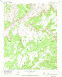
1970 Map of Red Willow Spring
USGS Topo · Published 1973About this map
Moenkopi Wash winds across the northern expanse of this high desert terrain, serving as the primary drainage for a landscape defined by deep canyons and isolated water sources. This 1970 field-checked survey documents a significant period of land management within the Navajo Joint Use Area, a designation reflecting the complex administrative history of the region.
Find a feature on this map
9 named features on this map. Tap any name to fly to it.
Don’t see what you’re looking for? This feature index may not catch every label — zoom into the map to look around manually.
Map Details
Editions of this 1970 Red Willow Spring Map
This is the sole edition of this map. No revisions or reprints were ever made.
Other maps of this area

1883 · Marsh Pass
USGS Topo · 1:250,000

1892 · Marsh Pass
USGS Topo · 1:250,000

1956 · Marble Canyon
USGS Topo · 1:250,000

1959 · Marble Canyon
USGS Topo · 1:250,000

1961 · Marble Canyon
USGS Topo · 1:250,000
1967 · Big Mountain Dam
USGS Topo · 1:24,000
1967 · Rocky Ridge NW
USGS Topo · 1:24,000
1967 · Rocky Ridge NE
USGS Topo · 1:24,000
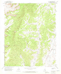
1968 · Owl Valley
USGS Topo · 1:24,000
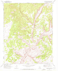
1970 · Kydestea Spring
USGS Topo · 1:24,000