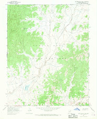
1967 Map of Big Mountain Dam
USGS Topo · Published 1969About this map
Navajo - Hopi Joint Use Area lands define this high-desert region in Navajo County, surveyed during a complex era of land management and shared use in the late 1960s. The landscape is characterized by its significant drainages, including the winding Dinnebito Wash and Oraibi Wash, which carve through the arid terrain. Big Mountain dominates the western portion of the map, serving as a prominent landmark and the site of the vital Big Mountain Spring. The creation of the Big Mountain Dam indicates the era's focus on water resource development for livestock and local needs within these traditionally significant valleys. Place names like White Hair Valley and Many Sheep Valley reflect the cultural and agricultural heritage of the people residing in this part of the Colorado Plateau, while landmarks like Tsin Yatoh and Salt Point provide specific geographic anchors for local history research.
Find a feature on this map
10 named features on this map. Tap any name to fly to it.
Don’t see what you’re looking for? This feature index may not catch every label — zoom into the map to look around manually.
Map Details
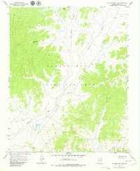
Editions of this 1967 Big Mountain Dam Map
2 editions found
Other maps of this area

1883 · Marsh Pass
USGS Topo · 1:250,000

1892 · Marsh Pass
USGS Topo · 1:250,000

1956 · Marble Canyon
USGS Topo · 1:250,000

1959 · Marble Canyon
USGS Topo · 1:250,000

1961 · Marble Canyon
USGS Topo · 1:250,000
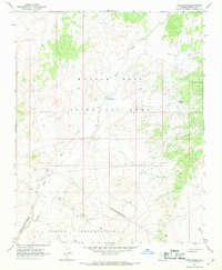
1967 · Hard Rocks
USGS Topo · 1:24,000
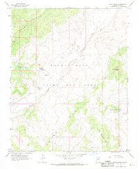
1967 · Rocky Ridge Se
USGS Topo · 1:24,000
1967 · Coat Spring
USGS Topo · 1:24,000
1967 · Rocky Ridge NE
USGS Topo · 1:24,000
1967 · Little Black Spot Mtn
USGS Topo · 1:24,000