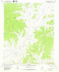
1967 Map of Big Mountain Dam
USGS Topo · Published 1979About this map
Big Mountain dominates this portion of the high desert, rising above a complex network of seasonal drainages and traditional grazing lands. This 1967 field-checked survey documents a landscape defined by the Navajo-Hopi Joint Use Area, a designation reflecting the complex administrative and tribal history of the region. Significant water resources, vital for life in this arid environment, are clearly marked at Big Mountain Spring and the Big Mountain Dam. The drainage patterns of Dinnebito Wash and Oraibi Wash cut through the terrain, flanked by descriptively named features like Many Sheep Valley and White Hair Valley. The map's detail provides a look at the unimproved roads and topographical landmarks, such as Salt Point and Tsin Yatoh, used by inhabitants to navigate the plateau long before modern infrastructure reached the area.
Find a feature on this map
10 named features on this map. Tap any name to fly to it.
Don’t see what you’re looking for? This feature index may not catch every label — zoom into the map to look around manually.
Map Details
Editions of this 1967 Big Mountain Dam Map
2 editions found
Other maps of this area

1883 · Marsh Pass
USGS Topo · 1:250,000

1892 · Marsh Pass
USGS Topo · 1:250,000

1956 · Marble Canyon
USGS Topo · 1:250,000

1959 · Marble Canyon
USGS Topo · 1:250,000

1961 · Marble Canyon
USGS Topo · 1:250,000
1967 · Hard Rocks
USGS Topo · 1:24,000
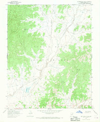
1967 · Big Mountain Dam
USGS Topo · 1:24,000
1967 · Rocky Ridge Se
USGS Topo · 1:24,000
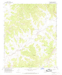
1967 · Coat Spring
USGS Topo · 1:24,000
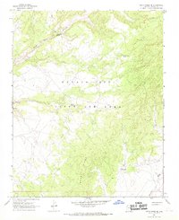
1967 · Rocky Ridge NE
USGS Topo · 1:24,000