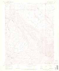
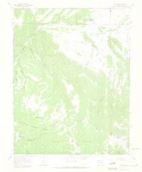
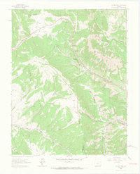
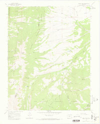
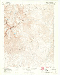
1967 Map of Red Wing
USGS Topo · Published 1972About this map
The Huerfano River carves a path through this high-altitude landscape where the Sangre de Cristo range meets the western edge of Huerfano and Costilla counties. Small valley settlements such as Sharpsdale, Chama, and Gonzales are clustered along the river and its tributaries, including Martin Creek and Chama Cem, reflecting a landscape of traditional mountain ranching and irrigation. The presence of the Montez Ditch signifies the vital importance of water management in this arid alpine environment.
Find a feature on this map
29 named features on this map. Tap any name to fly to it.
Don’t see what you’re looking for? This feature index may not catch every label — zoom into the map to look around manually.
Map Details
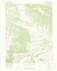
Editions of this 1967 Red Wing Map
3 editions found

Other maps of this area

1889 · Huerfano Park
USGS Topo · 1:125,000

1892 · Huerfano Park
USGS Topo · 1:125,000

1954 · Trinidad
USGS Topo · 1:250,000

1955 · Trinidad
USGS Topo · 1:250,000

1958 · Trinidad
USGS Topo · 1:250,000

1959 · Trinidad
USGS Topo · 1:250,000
1963 · La Veta Pass
USGS Topo · 1:24,000
1967 · Mosca Pass
USGS Topo · 1:24,000
1967 · Blanca Peak
USGS Topo · 1:24,000
1967 · Creager Reservoir
USGS Topo · 1:24,000