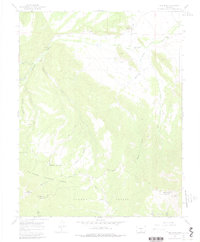
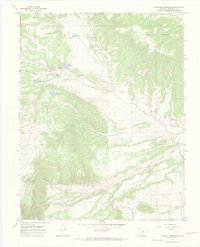
1967 Map of Red Wing
USGS Topo · Published 1978About this map
The Huerfano River flows through a valley defined by the high elevations of the Sangre de Cristo range, anchoring a landscape of small settlements and mountain infrastructure. Red Wing and Chama serve as the primary focal points for local history, both situated near the river's path as it winds toward the Point of Rocks. The mapping of the San Isabel National Forest boundary and the Grant Boundary illustrates the complex land divisions of this portion of Huerfano and Costilla counties.
Find a feature on this map
32 named features on this map. Tap any name to fly to it.
Don’t see what you’re looking for? This feature index may not catch every label — zoom into the map to look around manually.
Map Details
Editions of this 1967 Red Wing Map
3 editions found
Other maps of this area

1889 · Huerfano Park
USGS Topo · 1:125,000

1892 · Huerfano Park
USGS Topo · 1:125,000

1954 · Trinidad
USGS Topo · 1:250,000

1955 · Trinidad
USGS Topo · 1:250,000

1958 · Trinidad
USGS Topo · 1:250,000

1959 · Trinidad
USGS Topo · 1:250,000

1963 · La Veta Pass
USGS Topo · 1:24,000

1967 · Mosca Pass
USGS Topo · 1:24,000
1967 · Blanca Peak
USGS Topo · 1:24,000
1967 · Creager Reservoir
USGS Topo · 1:24,000